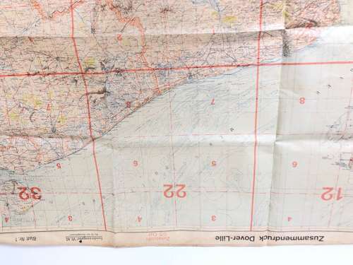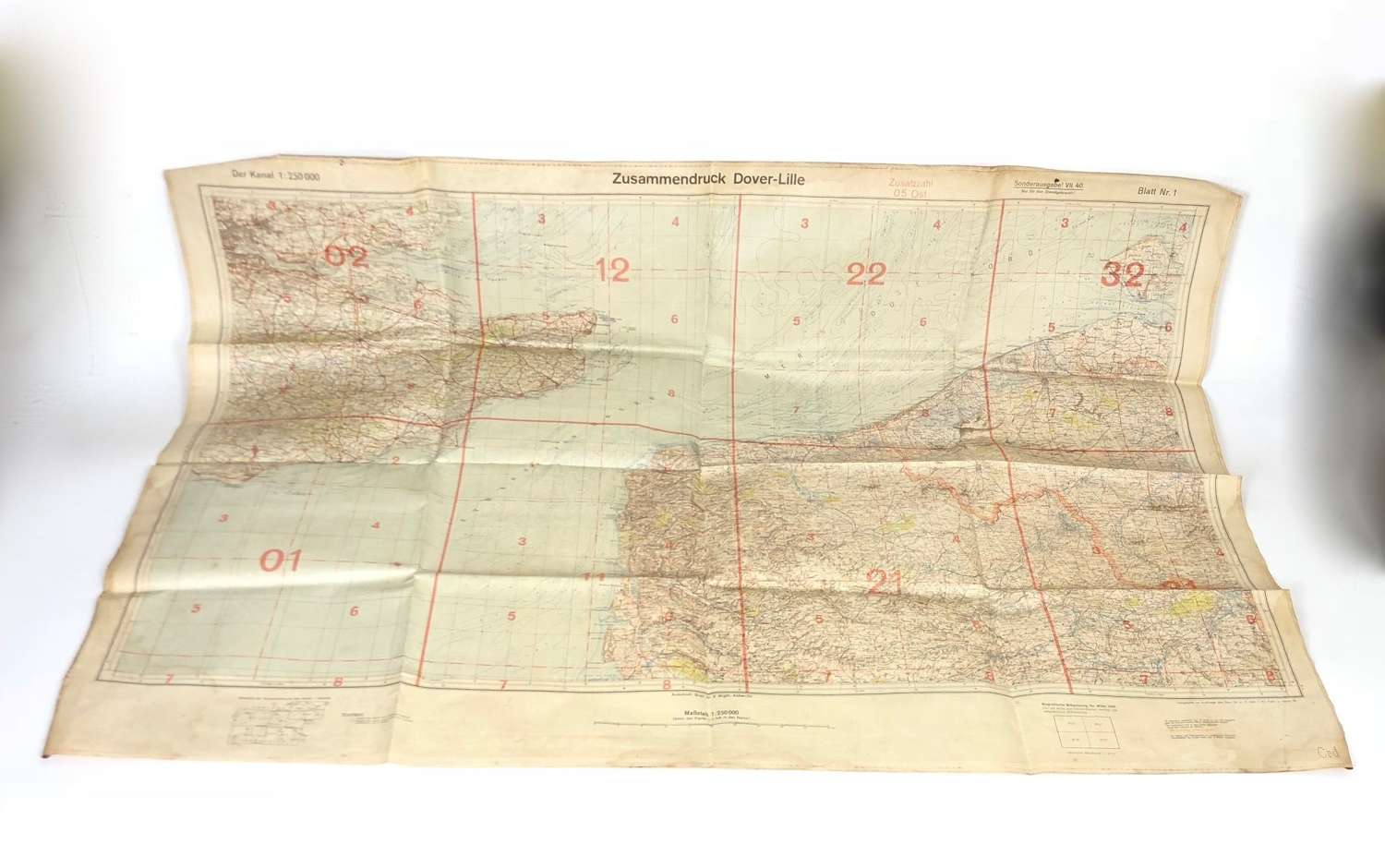
WW2 Battle of Britain Period Luftwaffe Flying Map Dover Straits Kent.
Code: 22084
£350.00
Qty
WW2 Battle of Britain Period Luftwaffe Flying Map Dover Straits Kent.
A rare original large example of the waterproof map used by Luftwaffe navigators. This example shows northern France and Kent etc.
Title Zusannendruck Dover-Lille. Dated 1940. Has been used GC Printed one side.
Approx Size 78 x 108 cm